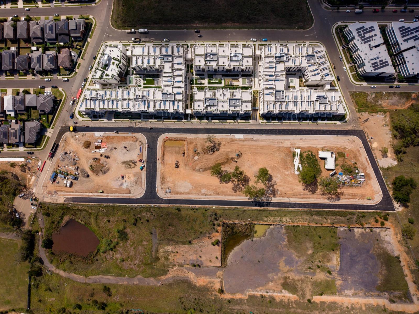
Infrastructure projects need visual documentation that communicates scale, progress, and quality to stakeholders who may never visit the site. Whether it's a construction milestone, a data centre build, or a major civil works project, the images need to tell a clear story about where the project is and where it's heading.
What we cover
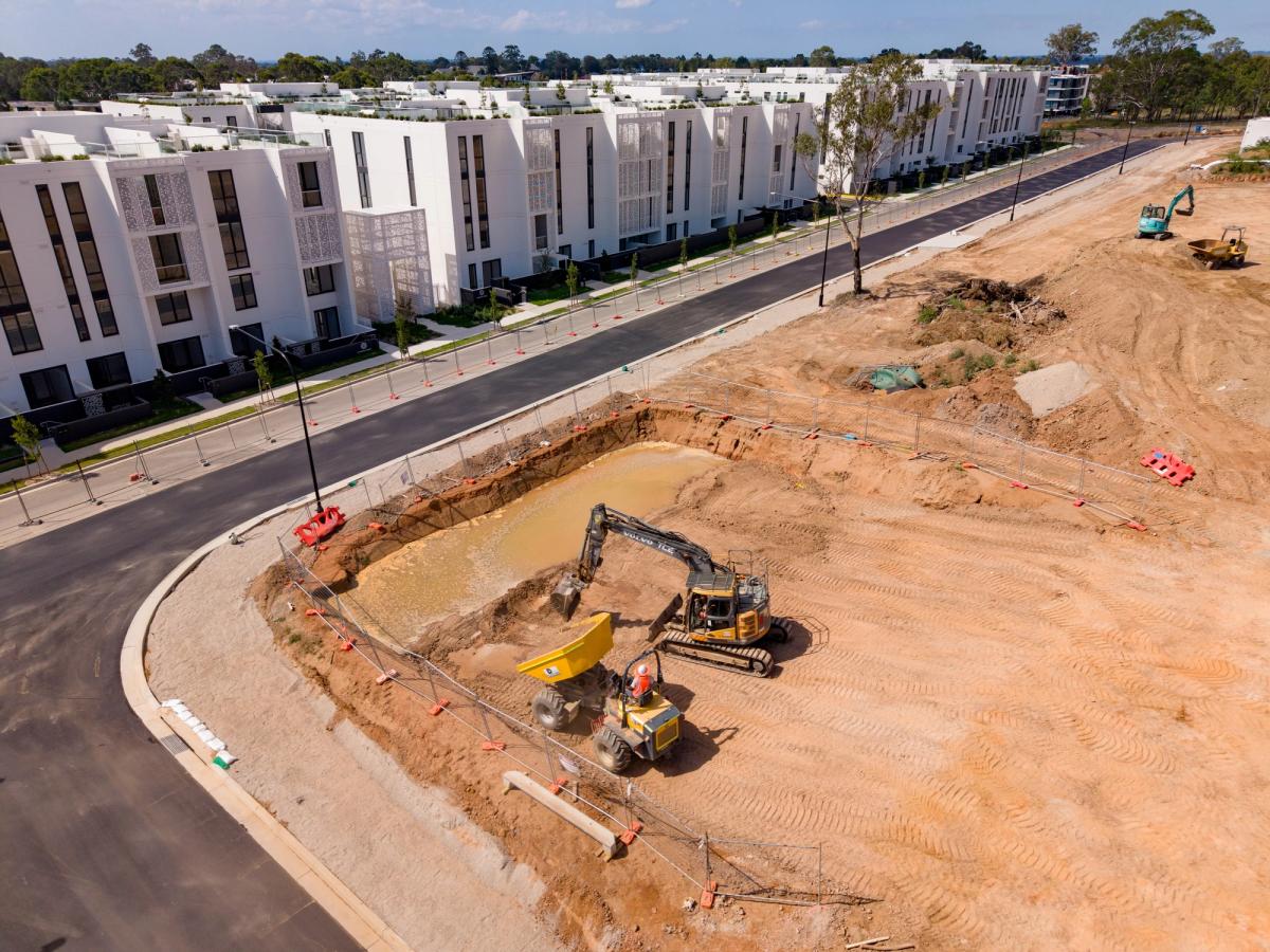
- Construction progress and milestone documentation
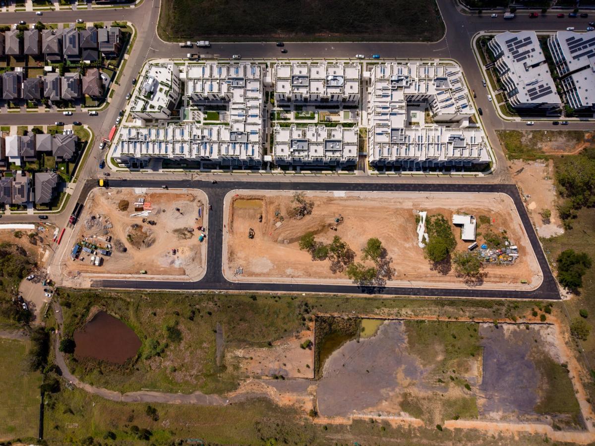
- Aerial site surveys and progress mapping
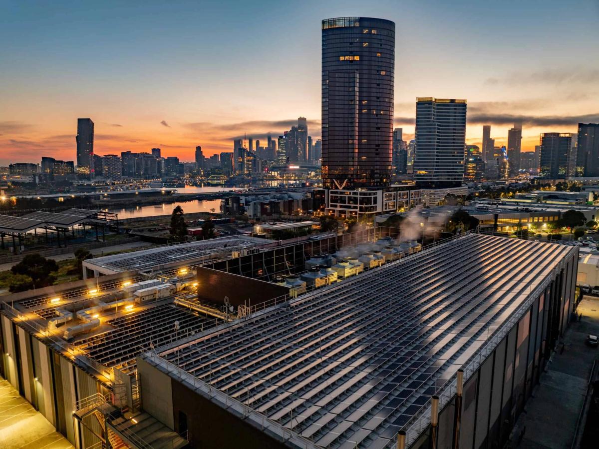
- Data centre and energy infrastructure
- Civil works and major project documentation
- Tender and capability statement imagery
Ground and air in one deployment
As a CASA-licensed operator (ARN #1283178), we combine ground-level and aerial photography in a single site visit. This gives you wide establishing shots, close detail work, and everything in between without booking two separate crews.
CASA Licensed Drone Operator — ARN #1283178
Featured work

ALSO SEE
Related services
What else we do.
Ready to make something worth showing?
Let's talk.
We respond within 1–2 business days.
Tell Us About Your Project →